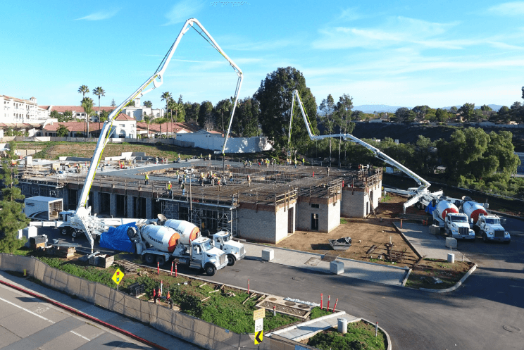
Drones/Unmanned Aircraft Systems (UAS): Capabilities

Our Drone capabilities include:
- Document site conditions with High Definition aerial imagery and UHD 4K video
- Investigate large, inaccessible, or hazardous project areas with video and HD photographs
- Offer before, during, and after imagery of project
- View elevation maps, 3D models, and HD imagery easily using shareable internet links (not survey level)
- Combine aerial imagery of the entire site as a spatially referenced geoTiff
- Provide estimated stockpile and cut/fill volumetric calculations for quality control and contractor verification during project monitoring
- Create 3D attribute-based Point Cloud models in LiDAR-native LAS and XYZ data formats (not survey level)
- Generate Digital Terrain Models (DTM) and Digital Elevation Models (DEM) for geotechnical analysis

